29:19
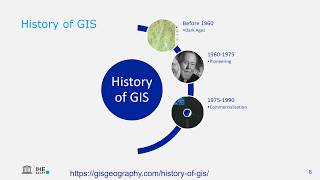
Introduction to GIS
Hans van der Kwast
18:17
GIS Vector data model (theory)
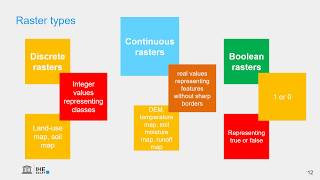
16:03
Raster data model in GIS (theory)
14:22
GIS File Formats and Good Practice
18:36
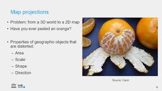
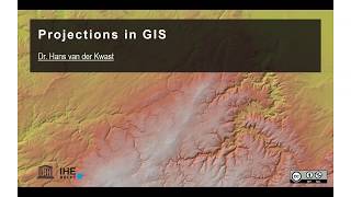
Map projections in GIS (theory)
8:03
Projections in GIS
6:18
How to find the EPSG code for your projection?
13:58
GIS Raster Processing (theory)
16:41
Map Design in GIS (theory)
11:57
Digital Elevation Models in GIS (theory) - updated
57:14
Good practices for sharing groundwater geospatial data
5:03
GIS vector overlay tools: clip, intersection, union, (symmetrical) difference