10:33
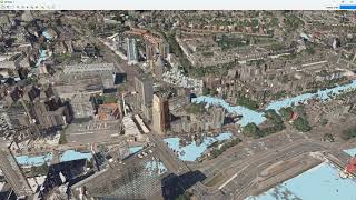
3D Tiles and Cesium Ion Plugin in QGIS
Hans van der Kwast
3:34
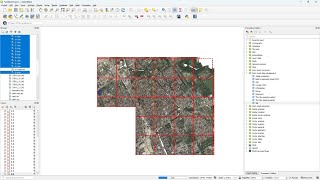
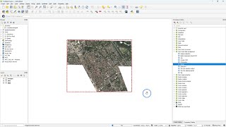
Tile and Retile Point Cloud Layers in QGIS
2:16
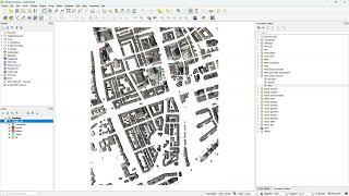
Merge Point Cloud Layers in QGIS
6:53
Using PDAL Wrench for Processing Point Clouds from the Command Line
5:04
Filter Point Clouds in QGIS
7:55
Interpolating Point Clouds to Raster with IDW and TIN in QGIS
6:13
Create and Use Virtual Point Clouds in QGIS
2:55
Download Coloured LiDAR Point Clouds for the Netherlands (AHN4) from GeoTiles.nl
8:16
Exploring the New Elevation Profile Tool with Point Clouds in QGIS 3.26
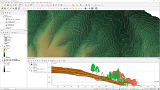
9:03
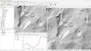
Compare Raster DEMs, Contours and Point Clouds with the Elevation Profile Tool in QGIS
20:39
Point Cloud Processing with LiDAR Tools of WhiteboxTools in QGIS
12:36
Testing the experimental MSI installer and point cloud support in QGIS 3.18
9:41
Calculate Flow Accumulation with PCRaster in QGIS and 3D visualisation with Aerialod
7:46
Create hillshade 3D views of scanned topographical maps in QGIS
5:20
Sample colours from an orthophoto to visualise a point cloud in QGIS
7:03
Pointclouds in QGIS using Potree and Qgis2threejs plugin
14:28
Generate a DSM from a point cloud in QGIS using the LASTools plugin
1:50
Using the Qgis2threejs plugin to visualise GIS layers in 2.5D
16:47
Quick Flood Analysis with QGIS